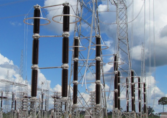
Dust & Sea Salt Pollution Mapping – Satellite versus Ground Truth Results by William Chisholm
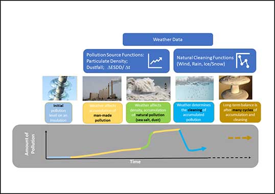
The atmosphere contains fine aerosol particles that have the potential to negatively impact reliable operation of power networks. While ash and dust are large enough to be seen by the unaided eye, aerosols such as salt-spray and many types of pollutants are microscopic, with a distribution of diameters in the range 0.1 to 10 μm. All sizes of aerosols scatter and absorb light and degree of scattering is a function of particle size, pollution type and concentration as well as wavelength. Water vapor and aerosols absorb infrared energy whereas dust, NO2 and O3 scatter visible and UV light. Optical observations can therefore infer total volume of specific pollutants in a column cross-section. Even for cloudless conditions, the sun’s rays will attenuate as they travel through the atmosphere. Best results are obtained when looking directly downward from space or vertically upward from the ground. Moreover, small corrections are made for seasonal variation in distance from earth to sun during long-term measurements from the ground. This presentation discusses how man-made and natural pollution can be monitored using optical measurements found in satellites. Indeed, several studies have shown that wide area estimates of particulate matter density, such as PM2.5 and PM10, can help fill in gaps between sparse and costly ground-based air quality or insulator pollution measurement sites. It is even feasible to identify natural dust and sea-salt aerosol fractions that are heavily weighted respectively in accumulation of non-soluble (NSDD) and soluble (ESDD) deposits onto outdoor insulator surfaces.